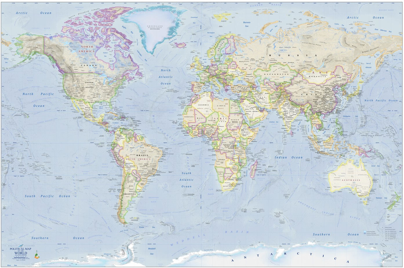
Ridgeline Geographic’s “World Political Map: Anacostia Edition” 24x36 map poster is a budget-friendly world map product ideal for classrooms and educational settings. Though the price is lower than Ridgeline's premium world map versions, map detail is nonetheless very extensive, clear, and carefully researched.
Printed on HP 30-lb heavyweight coated paper at high resolution on a 9-color ink system, the final trimmed print measures in at 23.5 x 35.5 inches. The poster is rolled into a rigid cardboard tube and reinforced with additional layers of bubble wrap and cardboard prior to shipping.
This budget-friendly map includes:
International boundaries with clearly labeled world countries and capitals
A robust presentation of world cities scaled by population
World water bodies and coastal features such as capes and islands, thoroughly labeled in a balanced manner
World continents represented with large block lettering
World oceans labeled in large font
Major seafloor features, such as ridges, trenches, and seamount chains labeled atop a high-resolution image of the world ocean floor